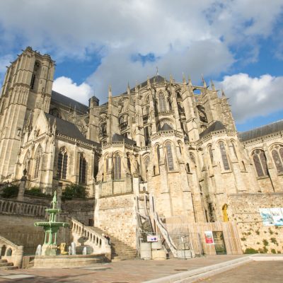


The present-day commune is unusual in that it is the result of the merger of two major former market towns, Montfort-le-Rotrou and Pont-de-Gennes. The villages spread out parallel to the Huisne valley on uneven terrain: the former Pont-de-Gennes is at the lowest point, at river level, at an altitude of 60 m, while Montfort-le-Rotrou rises to an altitude of around 100 m. Pont-de-Gennes is a crossroads town located at the mouth of a former crossing point of the Huisne. The second, located on a defensive point, is a market town built under the protection of the castle. The two were joined by a gradual urban expansion in the 19th century.
Map and full description of the route available in the Guide Rando du Perche Sarthois (50 routes).
On sale at tourist offices in the Perche Sarthois region for €10.
