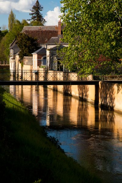


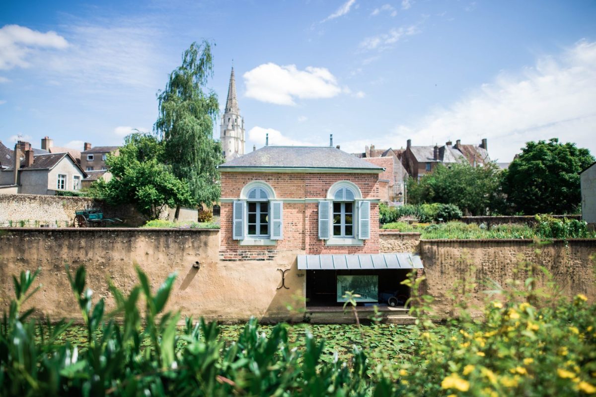
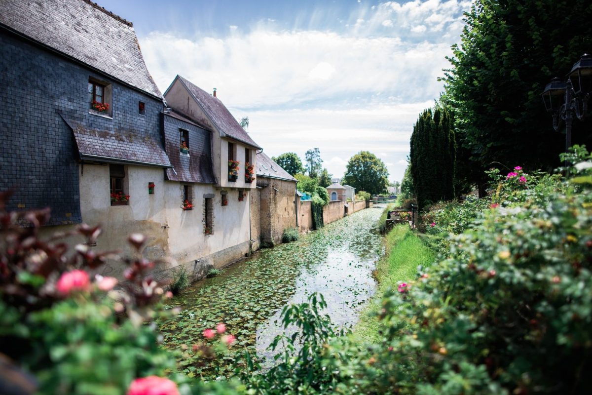
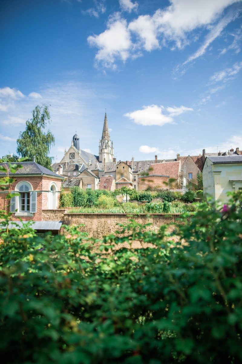
The development of Saint-Calais can be seen in the town planning that took place in the Middle Ages on either side of the Anille. On the right-hand side, the former abbey site, founded in the 6th century, can still be seen in the two high gables of the current resource centre. After the French Revolution, it was replaced by another administrative centre with imposing buildings and straight streets typical of the 19th century. On the left-hand side of the hill, between the river and the castle founded in the 11th century to confront the powerful abbey, you can easily make out the medieval quarter created from the axis of the Grande Rue on an irregular and dense plot of land.
Map and full description of the route available in the Guide Rando du Perche Sarthois (50 routes).
On sale at the Perche Sarthois tourist offices for €10.