


Distance : 15.75 km
Walking - Duration (average): 4h
Walking - Level: Average
Elevation gain: 229 D+
Départ : MELLERAY
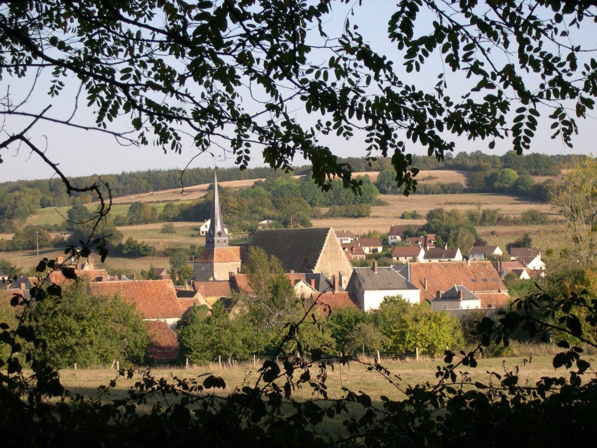

Situated on the ancient Le Mans-Orléans road, known locally as the "chemin de César", the village of Melleray developed in the Middle Ages with the creation of a priory dependent on the abbey of Saint-Calais. Attested in 1070, it was sold during the French Revolution. Its buildings were attached to Saint-Pierre church, the only remaining vestige. Part of the barony of Montmirail, the parish of Melleray was part of the Perche Gouët and the diocese of Blois until 1789.
Map and full description of the route available in the Guide Rando du Perche Sarthois (50 routes).
On sale at the Perche Sarthois tourist offices for €10.