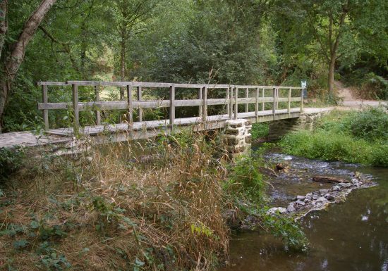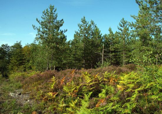


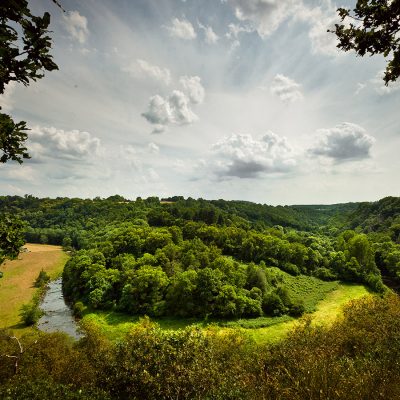


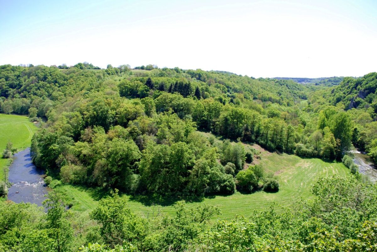
An 8km route marked out in yellow on a green background, with frequent changes in level and a semi-shaded location.
Information 08/07/2024: Temporary closure of the Toyères viewpoint
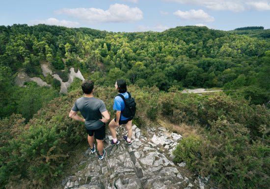
ATTENTION, access to the wooden platform on the Toyères site is temporarily prohibited. The joists have been damaged and work is required. In the meantime, the site is inaccessible. The hike "Le passeur de Montaigu" can still be done, but access to the view will not be possible.
We will inform you when the site reopens, so please do not hesitate to contact us by telephone on 02 43 33 28 04. Thank you for your understanding.
This 8km trail, marked out in yellow on a green background, has frequent changes in level and is located in the middle of the shade.
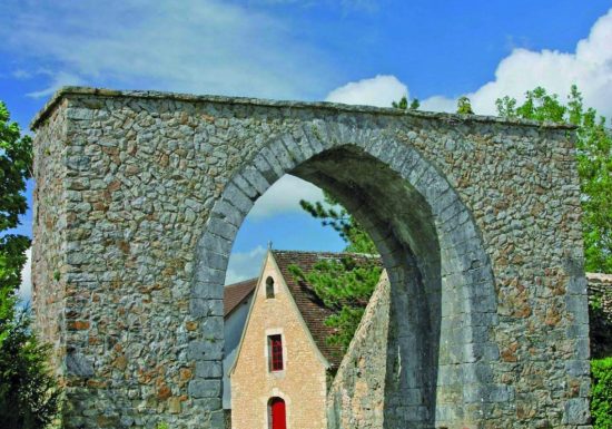
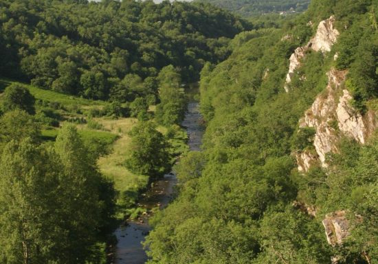
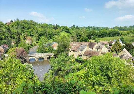
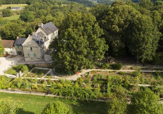
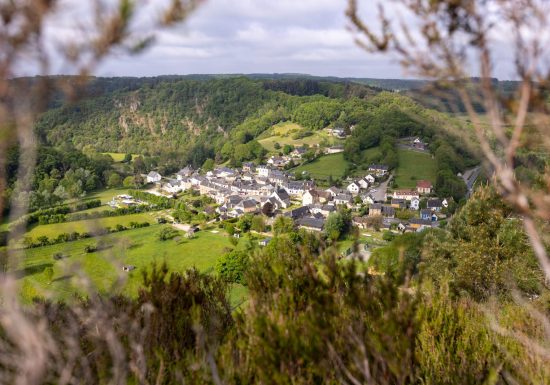
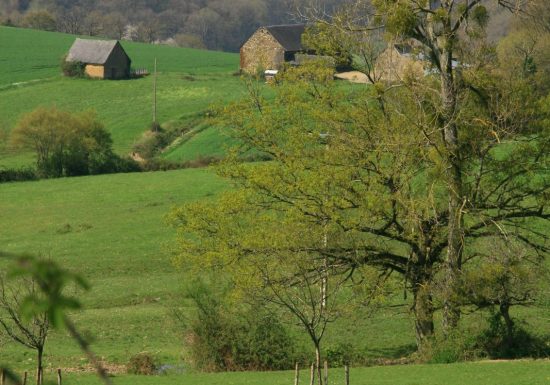
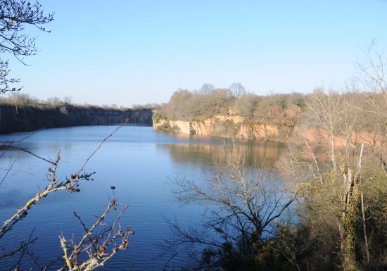
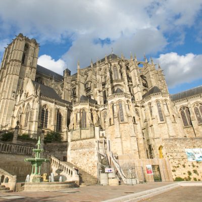
In the heart of the Alpes Mancelles, discover this 8km hike in an exceptional natural setting: the Canyon des Toyères. Between Sarthe and Mayenne, discover landscapes where nature reigns supreme...
PLEASE NOTE: this route is only available from 1 May to 30 September.