

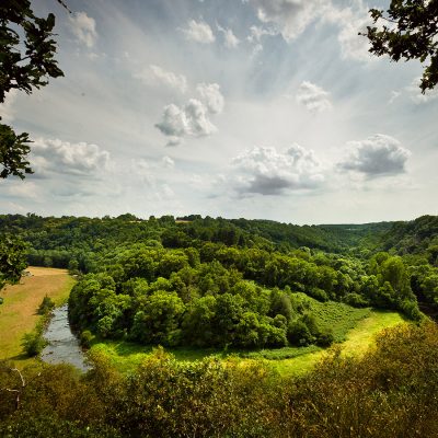
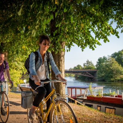


Situated at the crossroads of the Pays de Sillé and the Champagne Conlinoise, this route invites you to discover a variety of landscapes, between hedged farmland and plains.
Start from the church, at the crossroads of 4 star-shaped roads.
- From the church, use the pedestrian crossings to take rue de la gare (opposite the porch, towards Rouez).
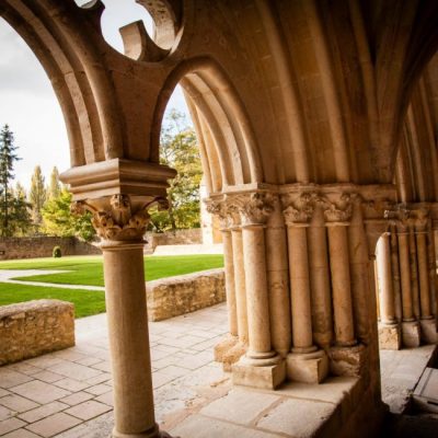
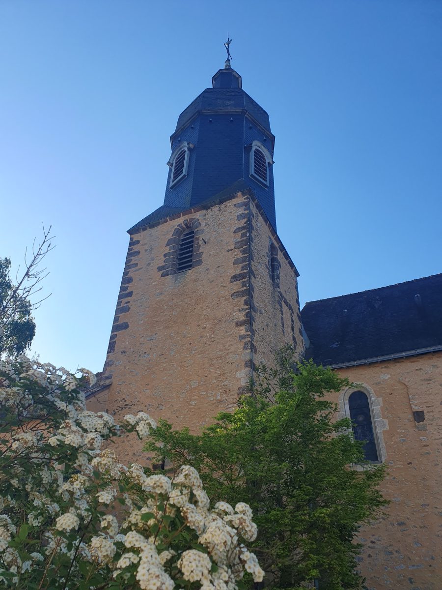
Crissé has been known to exist since the 7th century. The recent restoration of the church has brought back the typical Romanesque openings with their frames of roussard (local sandstone in abundance towards the east). The railway line built in 1854 runs along the old road leading to Sillé. In the Middle Ages, pilgrims from Le Mans and further afield made their way to Mont-Saint-Michel.
- At the calvary, leave "La Haise" on the old road to Sillé and continue to cross the PARIS-BREST line.
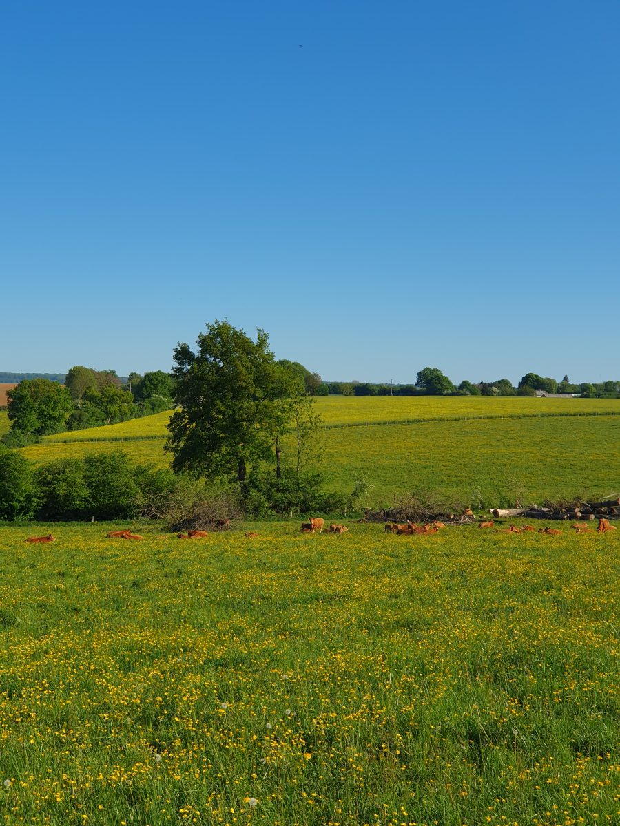
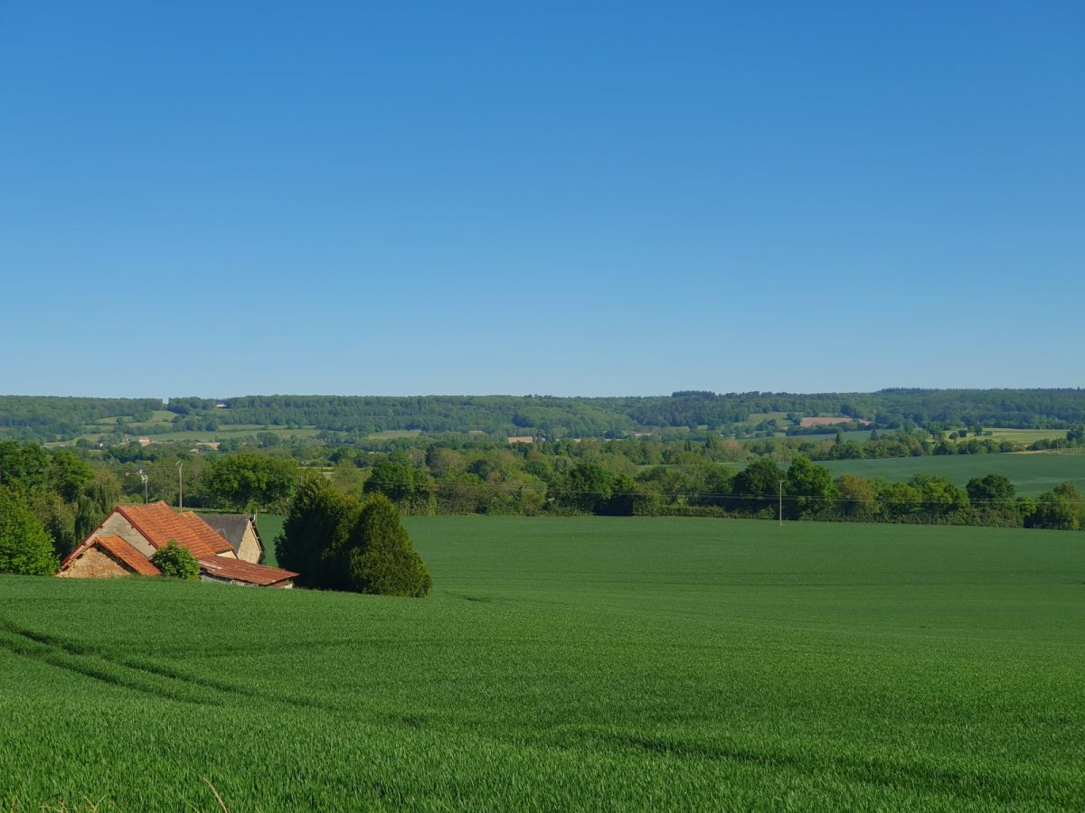
The route heads towards the Conlie plain: the vast fields on limestone soil are ideal for growing cereals.
- Turn left after the level crossing, then leave the D103 towards Rouez and continue straight on through Touchegane.
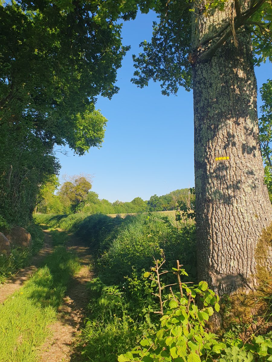
- Leave the Chemin Montois at Champ de Voie and turn right towards Buisson Rond.
- Turn right onto the path that runs alongside the Berdin, a tributary of the Vègre.
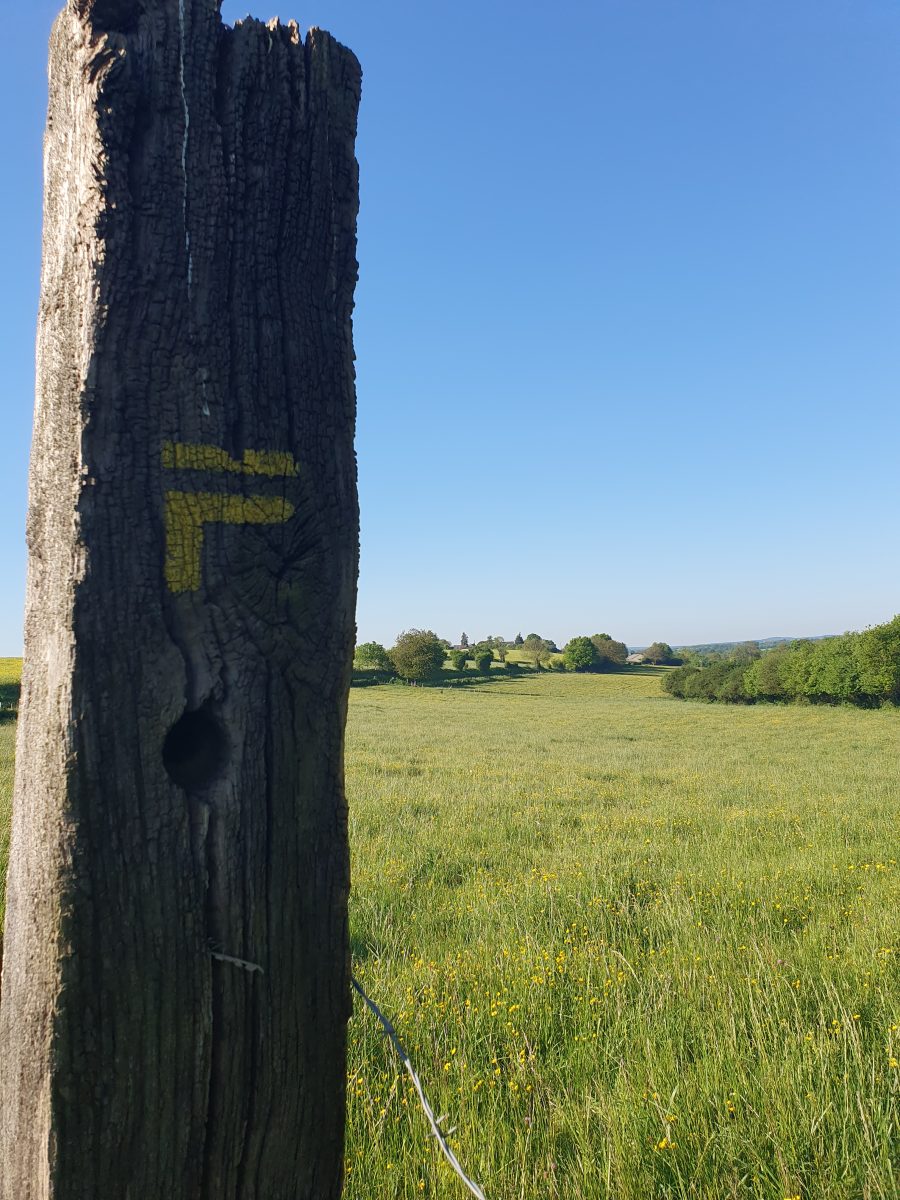
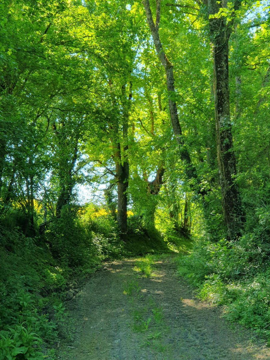
Further on, heading north, the narrow path lined with hedges runs alongside a stream and meanders through farmland.
- Cross the D103 leading to Bray (take care). Continue along the path as far as Gué du Carton. Turn right and then left along the path.
- Leave Berdin by turning right towards Mare aux Anges. Turn left and cross (with care) the old Sillé road towards the bridge under the railway line.
- After the bridge, turn right to join Crissé on the other side of the railway line.
- There is a fine view of the Sillé forest and the Bois de l'Hôpiteau. Turn left to go through the hamlet of Boulay.
- Turn right into the town centre.
Crissé is at the crossroads of the Sillé bocage and the Champagne Conlinoise (open fields). The town is very densely built up, with roads running in a star pattern, which is typical of limestone regions (the villages further north, in the bocage, have a different layout).