

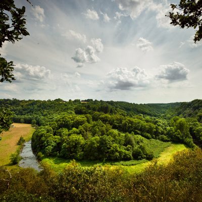
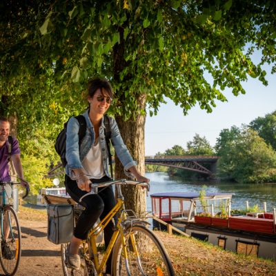


As well as offering a number of pretty views of the surrounding countryside, this route has several points of interest, including the church of Saint Mamert, a stone cross and the ruins of Le Vau, the remains of a Gallo-Roman villa in a very good state of preservation.
As well as offering a number of pretty views of the surrounding countryside, this route has several points of interest, including the church of Saint Mamert, a stone cross and the ruins of Le Vau, the remains of a Gallo-Roman villa in a very good state of preservation.
Approximately 20 km south-east of Sillé-le-Guillaume
The route starts from the hiking map located in the football pitch car park.
On the path :
- Go down towards the village, turn left at the small roundabout and then take the 1st turning on the left in front of the Mairie (town hall).
- Go up to the first dirt track on the left at 600m, go straight on and cross the road to join the track opposite. Continue along this track as far as "Les Bruyères", then turn right into the woods.
- Cross the wood to the road and turn right. Pass the water reservoir on your right, then turn right after 150 m onto the forest track.
- Continue for 800 m (take care to turn 90°), then continue for 150 m until you reach a fenced-in field and turn left (take care to follow the faint path).
- Continue to the road and turn left onto the first track on the left. Follow the track for 900 m and cross the road to join the "Bois des Iles" track on the other side.
- Follow the track, then turn left and right after 100 m. Take the first right and go straight on at the next junction. At "Les Cocuères" turn right and take the first turning on the left, then the second turning on the right.
- When you reach the road, turn left and then right at the crossroads into the La Bazoge forest and take the first path on the right. Take the road on the left and then the first path on the right, passing in front of
La godinière" and then next to the water tower. Cross the road and follow the path opposite for 1000 m.
- Turn right onto the road and 100 m further on take the first track on the right. About 500 m further on, turn left and continue for 1700 m until you reach the road. Turn right and then left at a crossroads.
- Turn right and follow the road down to the crossroads. Turn left and take the first turning on the right up the track, also on the right. 100 m after "La Houssaie", take the right-hand paths twice in succession, going around the football pitch.
- When you reach the road, turn left to reach the starting map in the car park.
Things to see
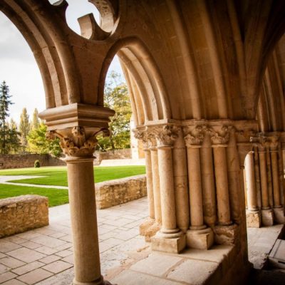
- Gallo-Roman remains: the Gallo-Roman era left its mark as evidenced by the "ruins of the vau", the remains of a Gallo-Roman villa.
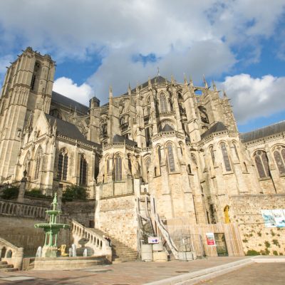
- St Mamert church: iron ore was once mined in the Bois des Iles. The surrounding woods are also former extraction sites for Roussard sandstone. In the town centre, you can admire the Church of St Mamert, built from this material like many other buildings in the region.
- Moulin de la Cochetière: there used to be several wheat mills along the "Le Vray" stream. Only one remains: the Moulin de la Cochetière, whose bucket wheel can still be seen. Unfortunately, it is no longer in use.