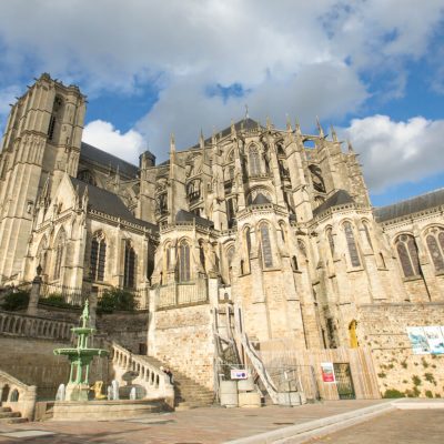


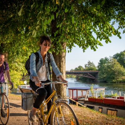


Built and natural heritage will follow one another along the route for your enjoyment.
Start/Finish point: Rouessé-Vassé church.
- From the church, head south towards Parennes, passing the chapel of Saint-Mathurin, rebuilt by Mathurin Mauny, priest of Rouessé in the early 17th century.
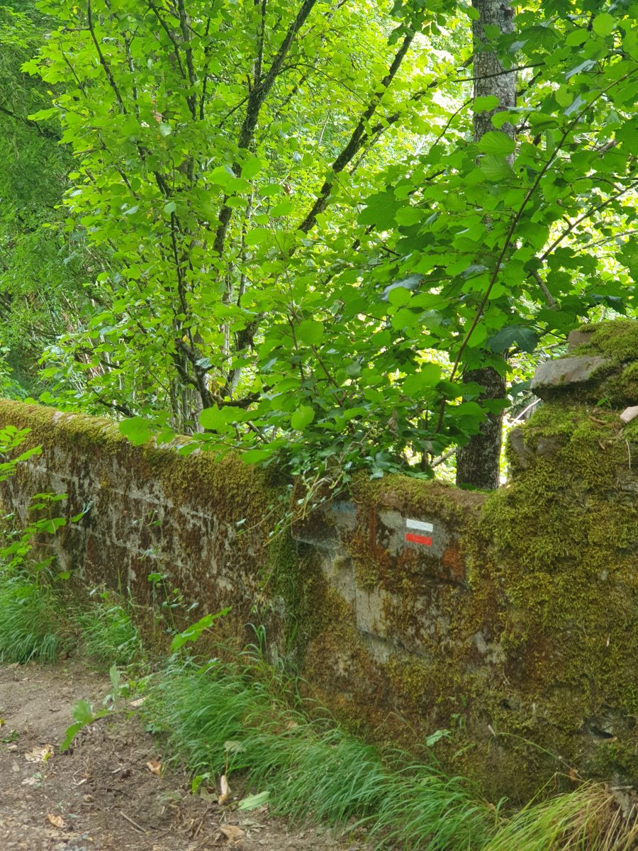
- Follow the signs for the GR® 365, a long-distance footpath (white and red) linking La Chapelle-Janson (Ille-et-Vilaine) to Durtal (Maine-et-Loire).
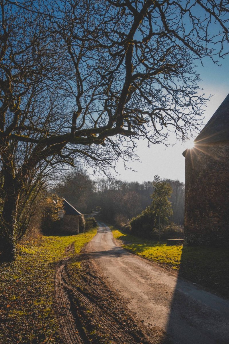
- After the stadium, follow the signs for Rouez and then take a small track on the left.
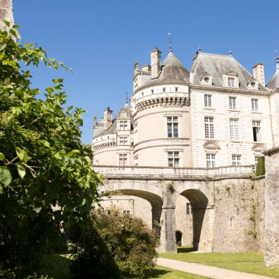
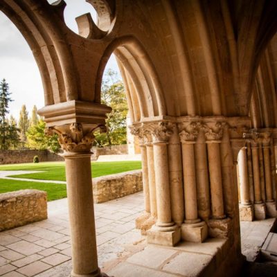
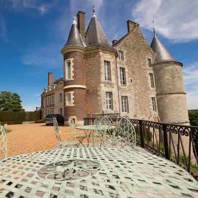
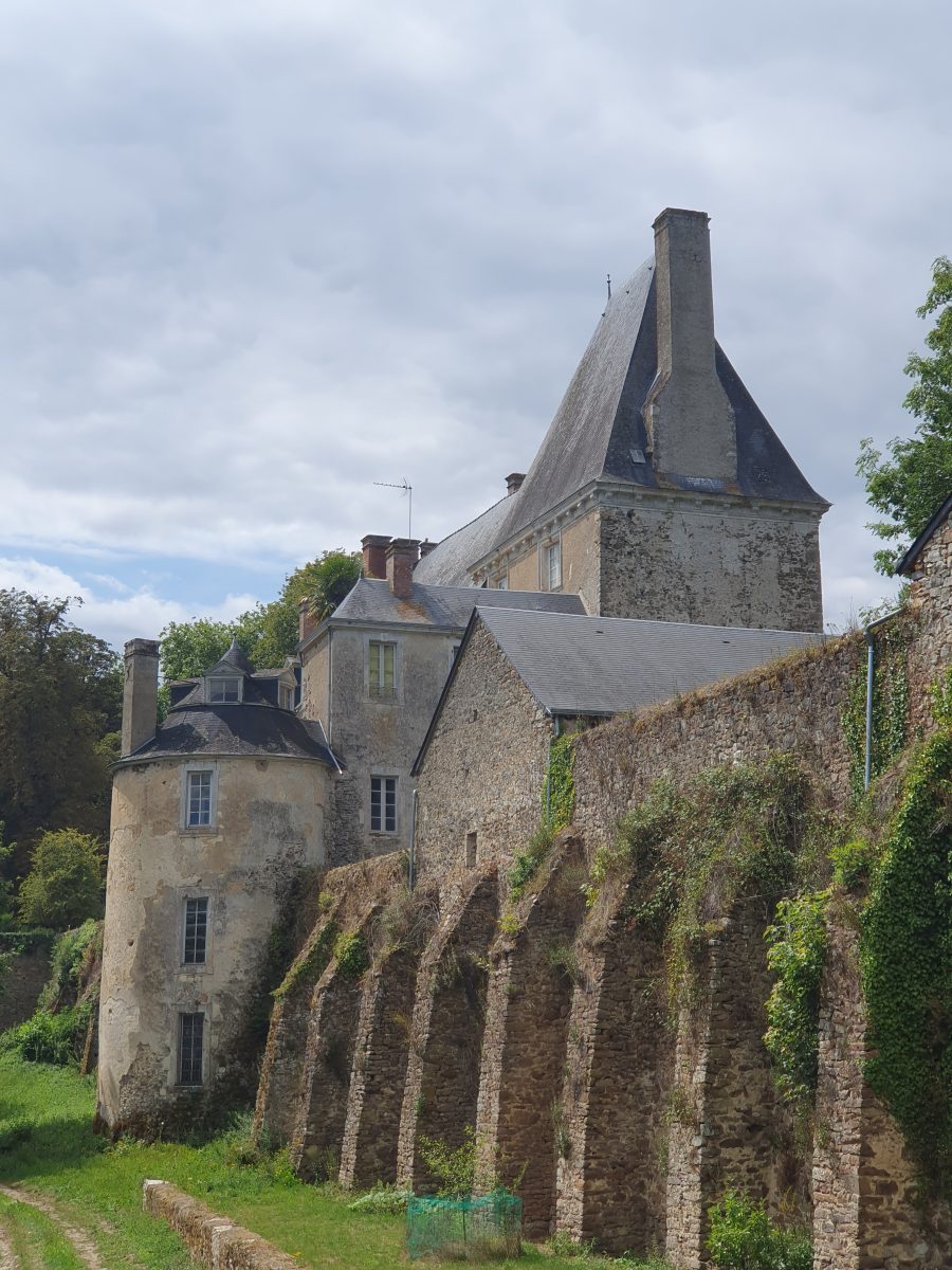
- In this first quarter of the route, you'll come across the Château de Vassé, built in 1595, probably on an earlier site. Outside, the dovecote, which can be visited, was a sign of seigneurial power with its 2,000 boulins (indoor nests for pigeons).
- At Château de Vassé, leave the GR365 signs. Cross the D310 (with care) and the railway line, then turn right.
- Follow the road that leads to "Les Grandes Rochettes", then the path that crosses the property.
- This track leads to a local road, fork left.
- After "Les Valnières", continue on the track which forms a right angle a few metres further on. Then turn left. Continue until you reach "Les Riandières".
- Here, fork right onto the road leading to Le Grez.
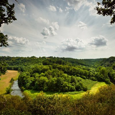
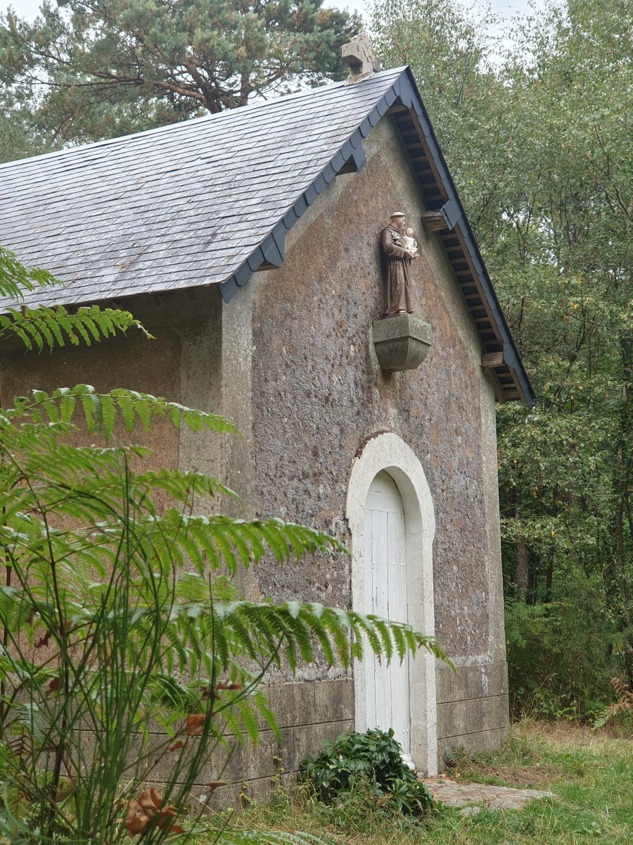
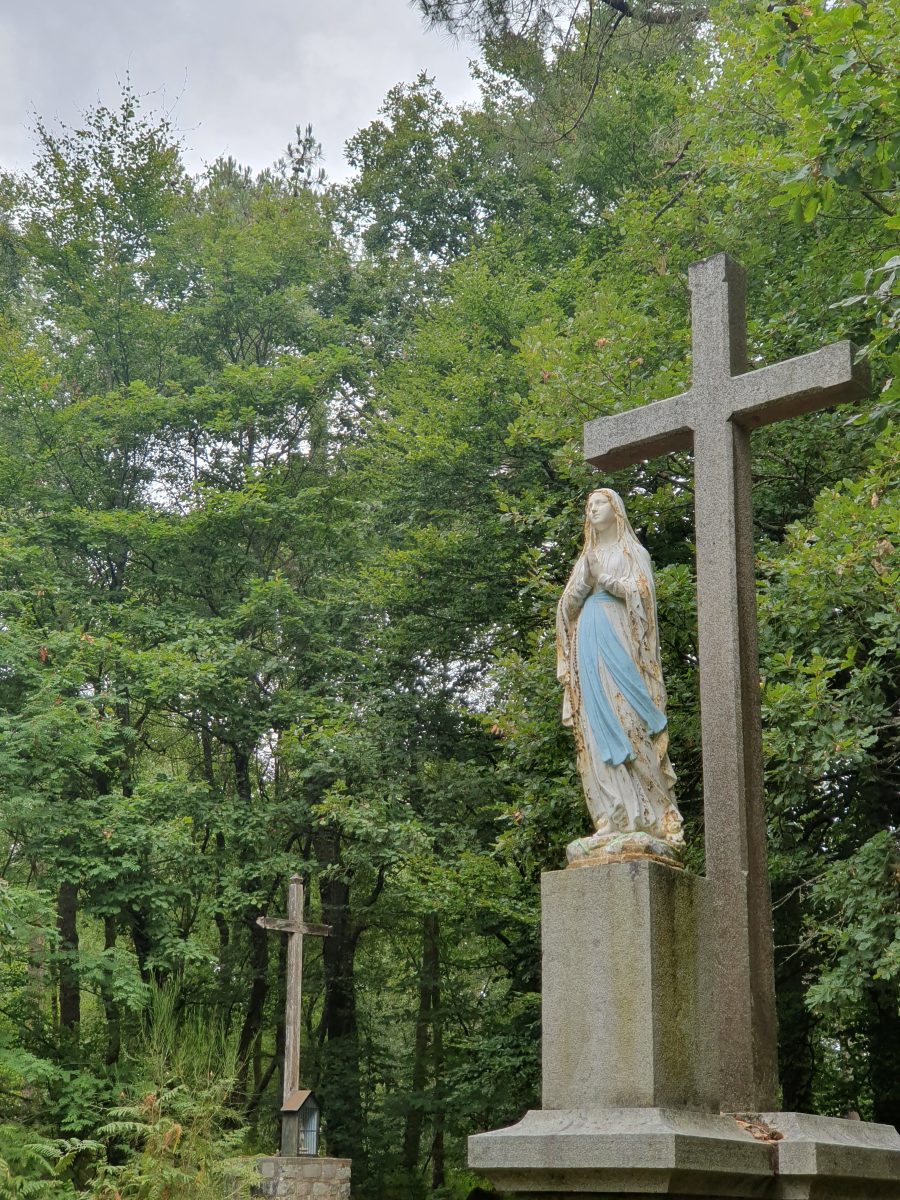
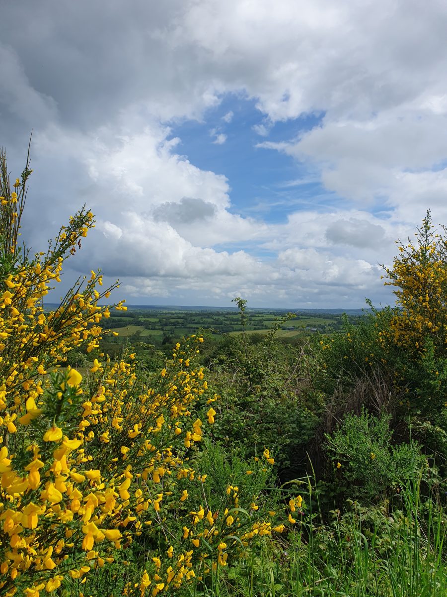
- At the crossroads, turn left towards Vimarcé and then left again. You are now entering the national forest. Once again, follow the signs for the Grande Randonnée trail (GR® 365, marked in white and red) to the start. On the ridge between the Sarthe and Mayenne, at an altitude of 292 metres, the Croix Lamarre chapel is a good place to stop. The return journey offers fine views over the Erve valley (Château de Foultorte). The countryside around Rouessé and the Fortaport moors, full of broom flowers in spring, lead back to the village.