

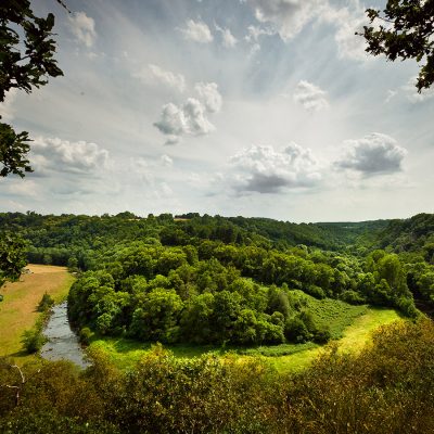
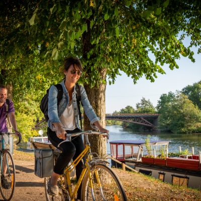


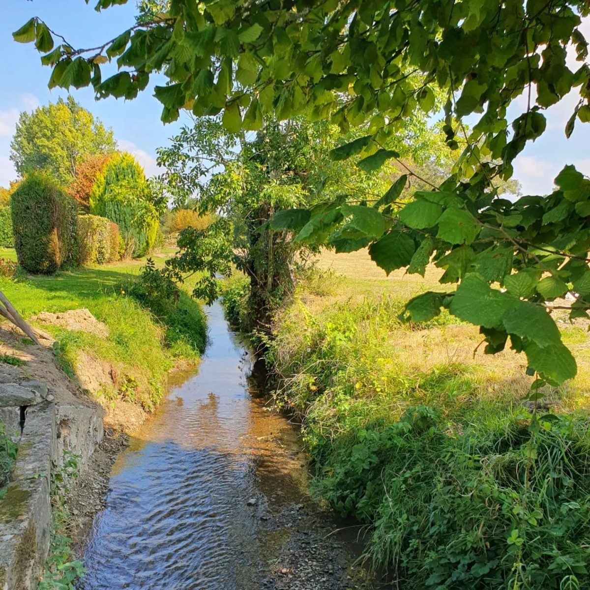
Discover the Sillé-le-Guillaume countryside and its magnificent views over the commune.
Take advantage of rail access to discover Sillé-le-Guillaume and the surrounding area!
Departure and arrival are from the square in front of Sillé-le-Guillaume station. If you're travelling by car, there's plenty of parking available.
- From the station square (opposite the passenger building), turn right and walk along the railway line until you reach the Route de Sablé.
- At the end of the footpath, turn left and walk under the bridge. Follow the yellow signs.
- Continue along the route de Sablé to the roundabout near the Legrand company.
- At the roundabout, head towards Sablé for approximately 700m.
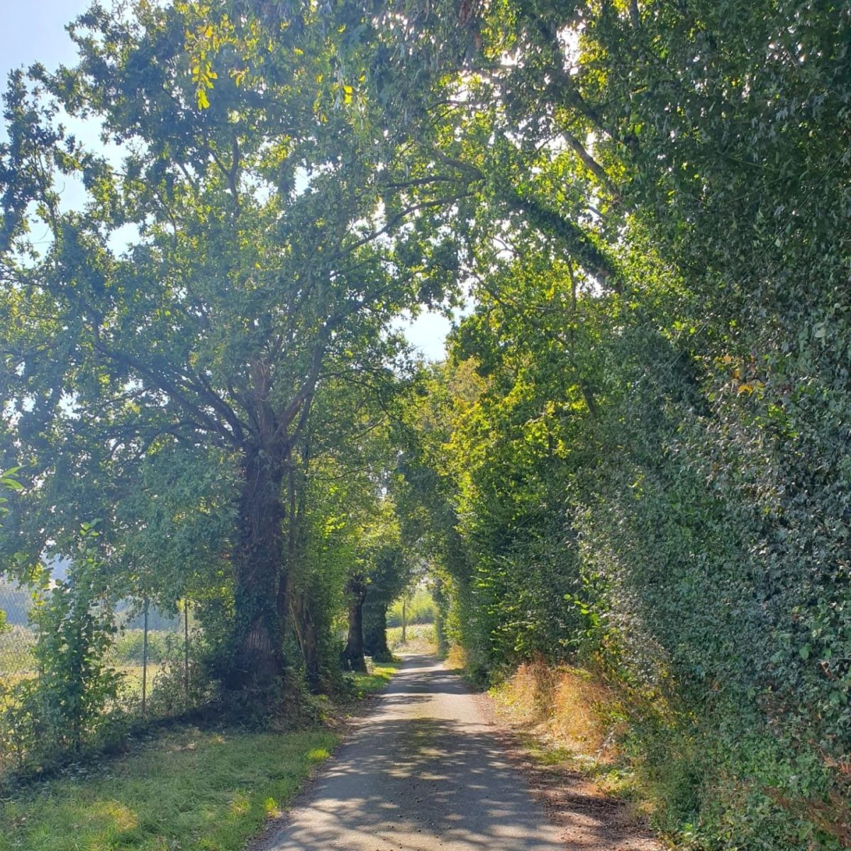
- Cross the road at the pedestrian crossing (with care) and take the Chemin de la Hérissière. Admire the old wash-house and continue along the road.
- Leave the impasse du Pin and, further on, at the crow's feet, fork right onto a shady path.
- Leave "Le Moulin du Truchot" and continue along the track as far as "Le Guichonneau".
- At this point, turn left and, further up the hill, you will come to the "Montard" farm. On your left, turn right and head for the "Grands Aîtres" road.
*Here you can take a different route (see next *).
- At the junction, turn left up the road. Leave the "Heucherie" path. Here you have a magnificent view of the Sillé forest and surrounding countryside. Further on, you can admire Sillé-le-Guillaume. Follow the road to the Couasmerie, which you take by turning left.
- Go down this track, then turn left onto the Chemin de Beauverger.
- At the junction, turn right and continue as far as the fire station.
- Cross the ring road (with care) and continue straight ahead.
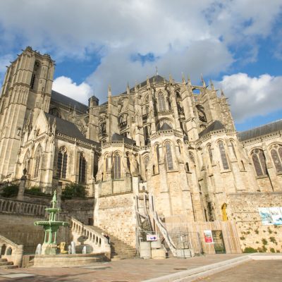
- Go round the Chapelle Notre-Dame de l'Epau on the right and turn left into the Rue de la Corderie.
- Pass under the railway line and return to the start by the same route as on the outward journey.
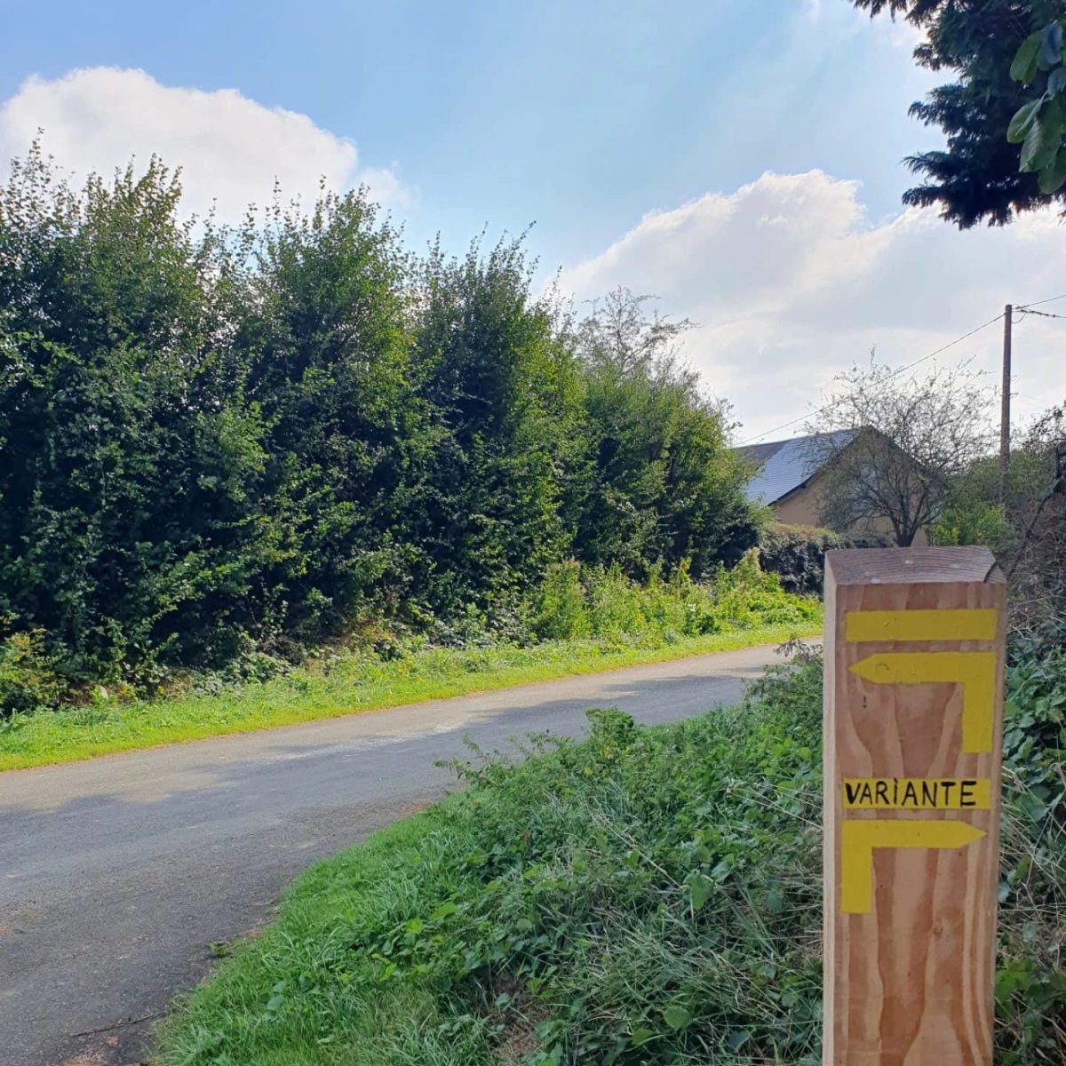
*Variant :
- Arrive on the "Grands Aîtres" road.
- Turn right for about 50 metres and then left.
- On your right, admire the chapel at "Le Bray".
- Turn left following the yellow signs, then take the "Chemin de Trigné" (yellow signs).
- Leave the Chemin de la Berterie and head towards the Chemin de Beauverger.