


Distance : 106 km
Walking - Level: Difficult
Elevation gain: 1058 D+
Départ : LA CHAPELLE-SAINT-FRAY
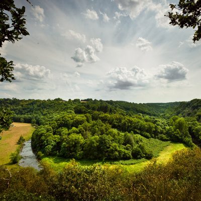
This loop of more than 100 km invites you to discover the paths and landscapes of Champagne Conlinoise, between plains and forests.
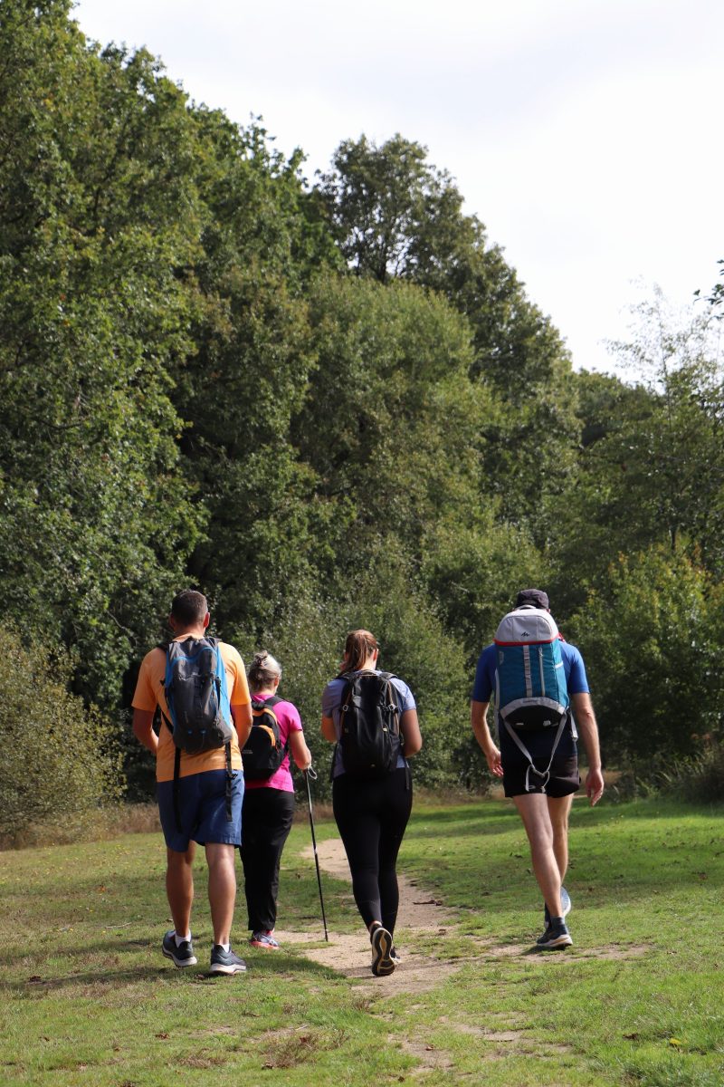
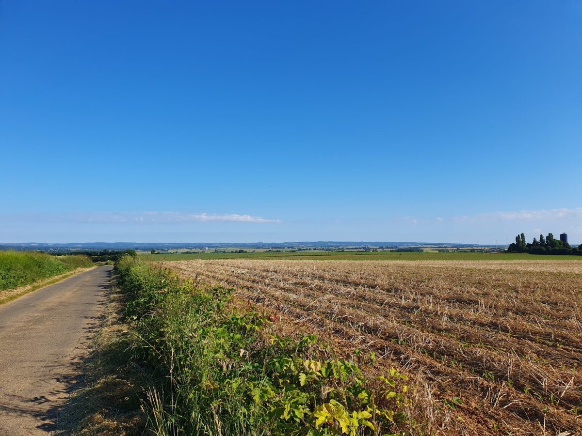
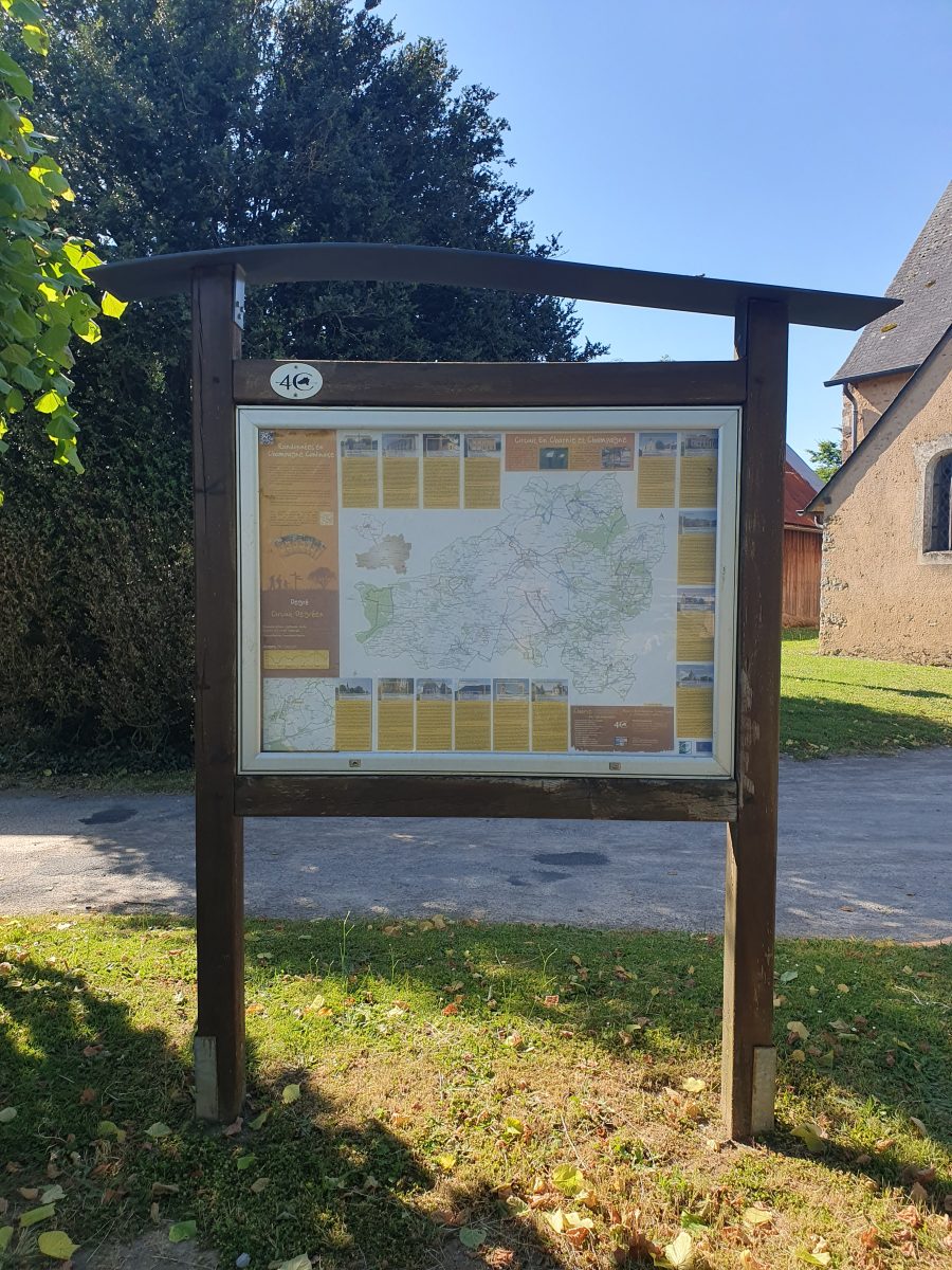
This 107km loop follows the roads and paths of the 15 communes that made up the former Communauté de Communes de la Champagne Conlinoise.
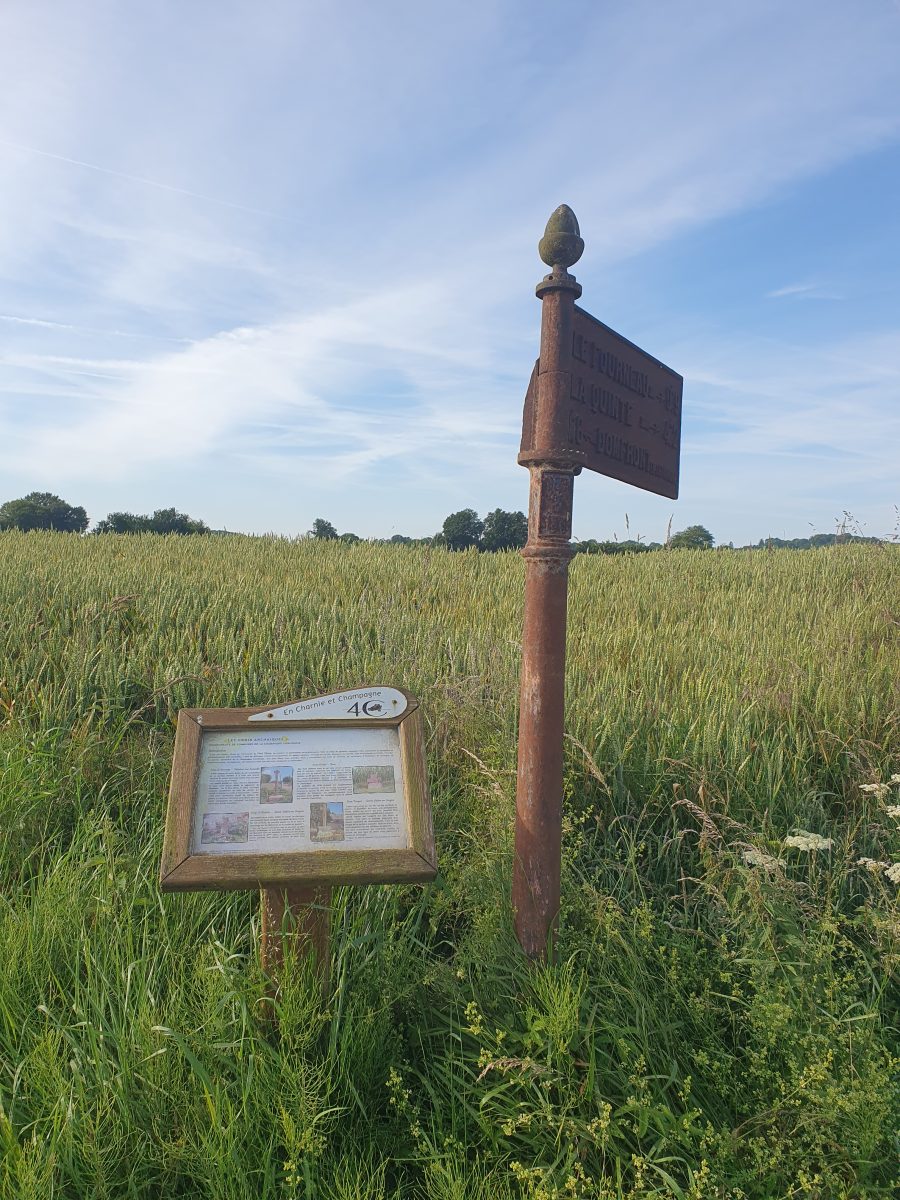
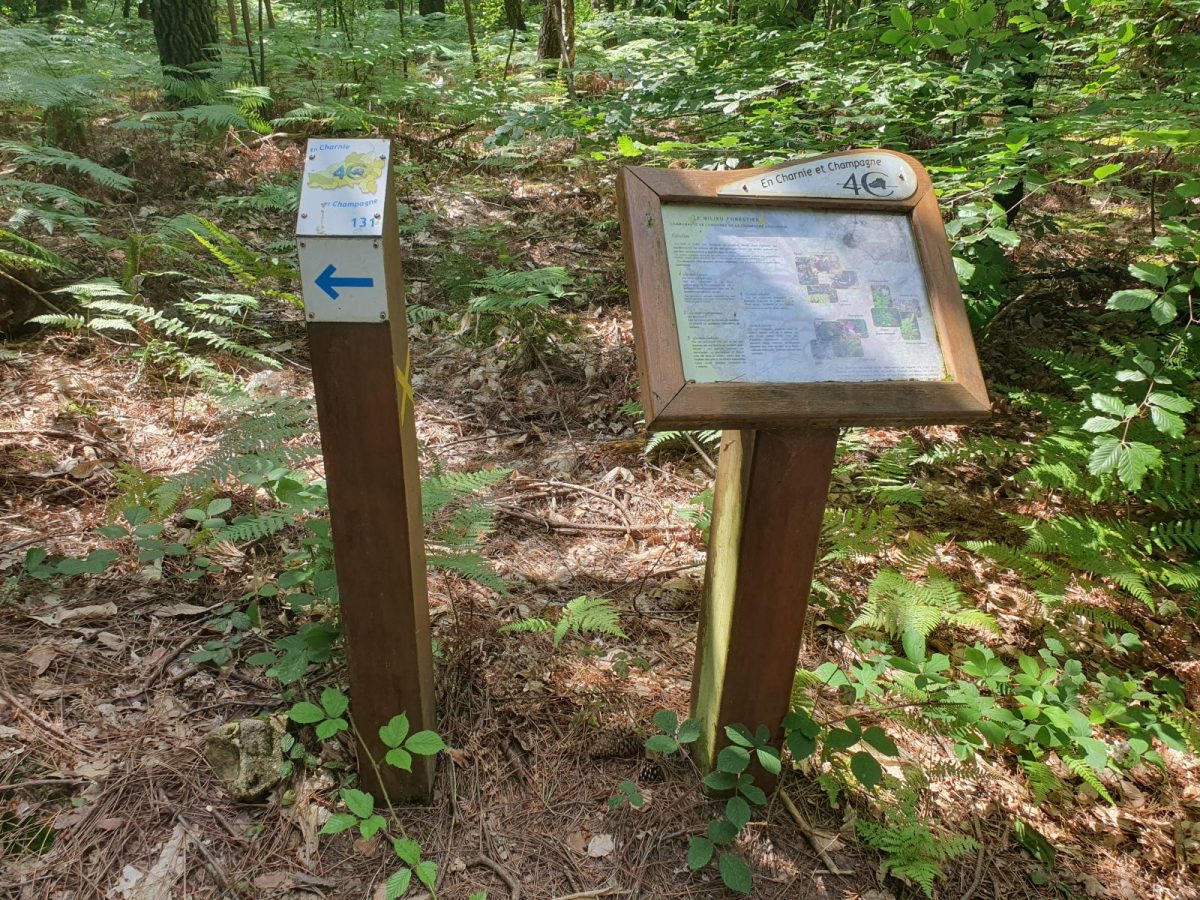
Start from one of these communes and follow the numbered signposts (note that the signposting is currently being restored) and/or the map to discover this "Entre Charnie et Champagne" loop.
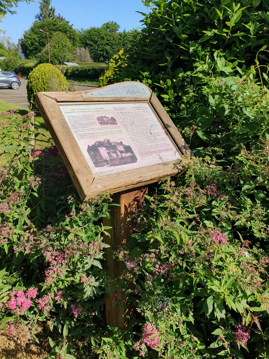
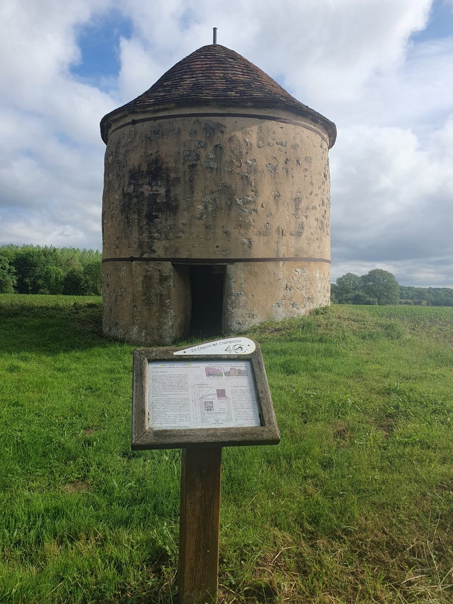
Planimeters await you in each of these communes (except Conlie and Tennie) and information desks can be found all along the route.