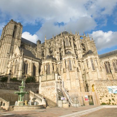


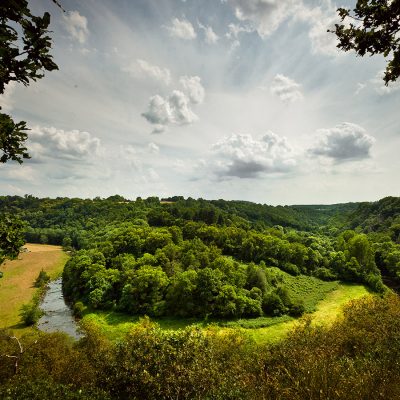
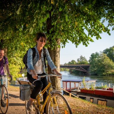


As well as offering a number of pretty views of the surrounding countryside, this route has several points of interest, including the church of Saint Mamert, a stone cross and the ruins of Le Vau, the remains of a Gallo-Roman villa in a very good state of preservation.
As well as offering a number of pretty views of the surrounding countryside, this route has several points of interest, including the church of Saint Mamert, a stone cross and the ruins of Le Vau, the remains of a Gallo-Roman villa in a very good state of preservation.
Approximately 20 km south-east of Sillé-le-Guillaume.
Start/Finish point: Car park next to the football pitch.
- Take the white path alongside the car park, then the path down on your left.
- Go down the old track. Turn left and then immediately right onto the D242.
- Take the track on the left, opposite "Champ du Gué", as far as the road, then turn right.
- Go past "le moulin de la Cochetière" then continue along the road.
- Take the sunken track on the left, then turn left onto the road.
- Turn right onto the D82, then right onto the track that enters the woods. You will pass by "La Pommeraie" and can admire a remarkable tree: a Beech. Follow the dirt track as it bends to the right, then on the road go past "La Miotière". On the D82, turn right, then left, on the edge of the La Bazoge forest.
- Cross the D242 and continue along the footpath.
- On the road, keep to the left, then turn left before Les Cocuères.
- Take the first dirt track on the right.
- Then turn left to make a detour and take the track on the right.
- Then turn left and follow the "Bois de Maulny" road.
- On the road, take the track opposite and then turn left.
- Opposite Châteaubert, take the track on the right.
- On the road, turn right, go past the reservoir and then turn left onto the track that leads into the woods.
- At "Les Bruyères" turn left and return to the car park.