

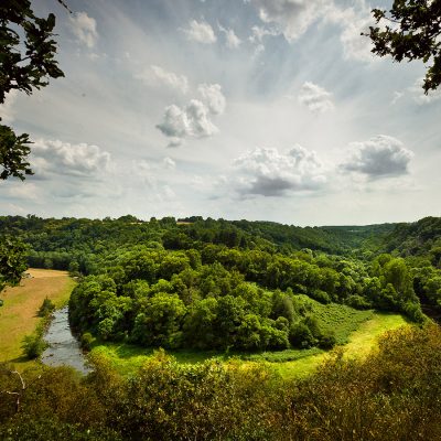


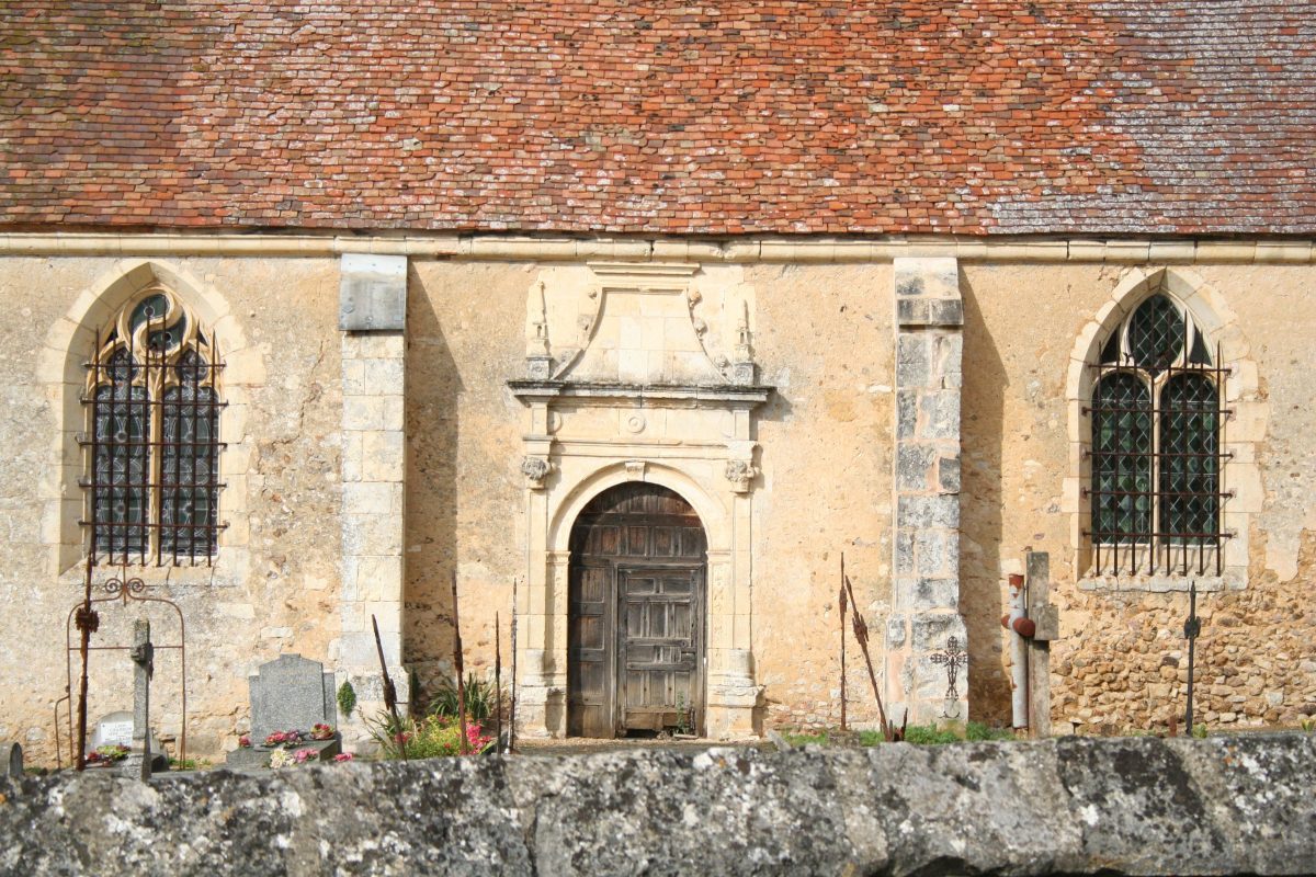
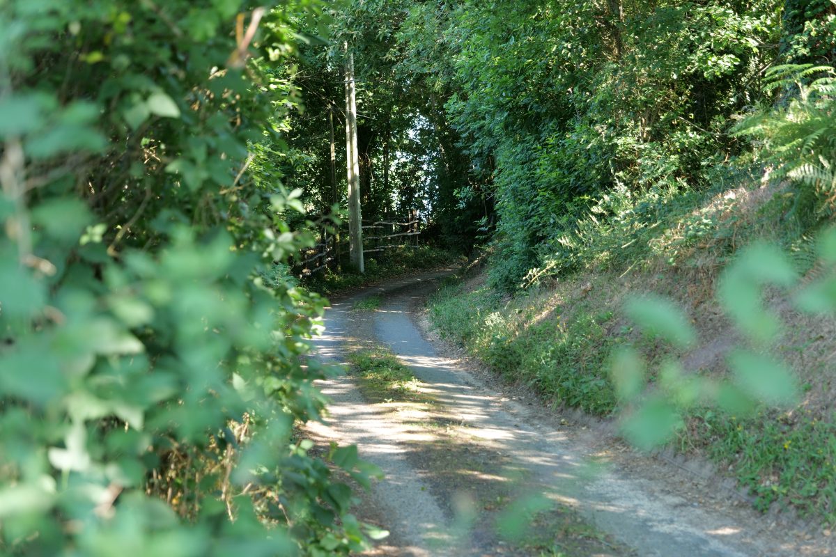
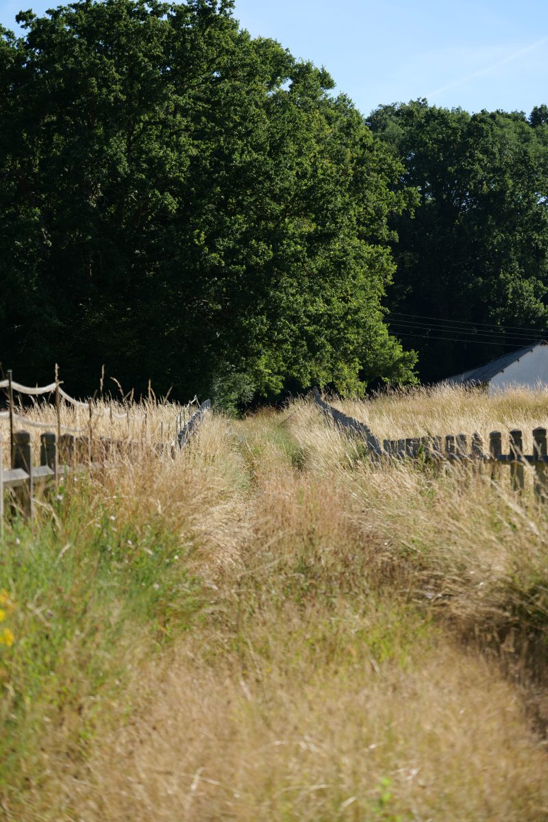
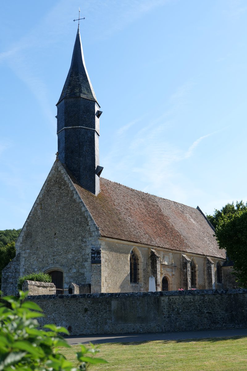
Bordering the Orne department, Souvigné is bounded by the Même river to the west and the Huisne to the east. The area is made up of a vast plateau that also extends into the commune of Avezé and rises to a height of 164 metres. This position offers panoramic views over the two valleys, allowing visitors to appreciate the diversity of the landscape, which is made up of woodland on the higher ground and a network of small plots of meadow surrounded by hedgerows. This agricultural landscape is essentially devoted to livestock farming; the vines that were once grown on the hillside have left no trace other than the name of the village. Souvigné's isolation has limited the growth of the village on the hillside to a few old houses surrounding the church and cemetery.
Map and full description of the route available in the Guide Rando du Perche Sarthois (50 routes).
On sale at the Perche Sarthois tourist offices for €10.
Distance : 6.5 km
Walking - Duration (average): 1h
Walking - Level: Easy
Elevation gain: 143 D+
Départ : SOUVIGNE-SUR-MEME