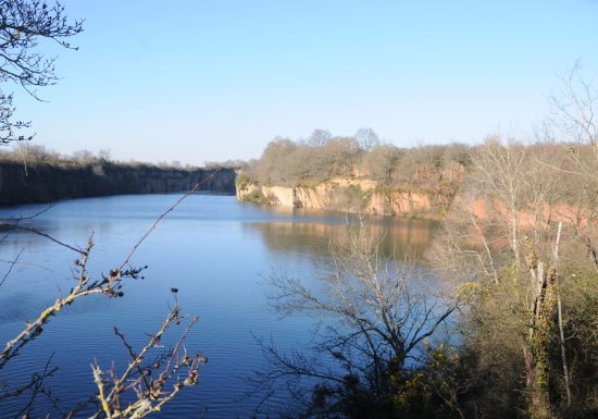
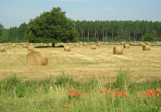
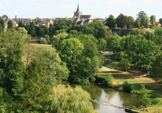
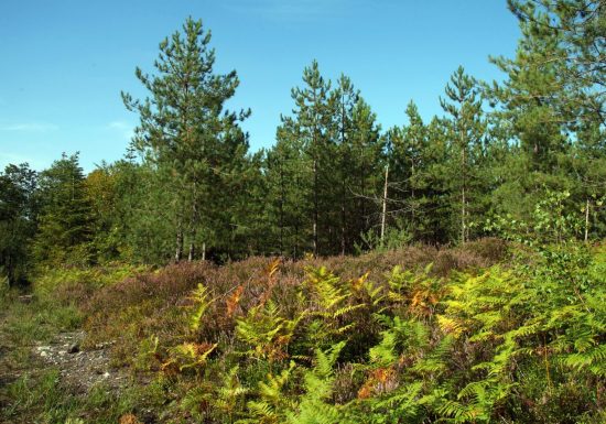
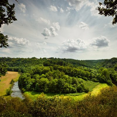
Enregistrer
Distance : 13 km
Walking - Duration (average): 3h
Walking - Level: Average
Départ : SAINT-PAUL-LE-GAULTIER

A 13km route marked in yellow, with frequent changes in altitude, and situated in the middle of the shade. This trail can be linked with the "Vallée de Misère" trail at Saint-Léonard-des-Bois.

Yellow-marked 13km trail, with frequent changes in altitude, in a semi-shaded location. Start and finish at Saint Paul le Gaultier. This trail can be linked with the "Vallée de Misère" trail at Saint-Léonard-des-Bois.

Points of interest

Services on site

Next

Previous

“Les méandres de le Sarthe” hiking trail

“Les méandres de le Sarthe” hiking trail

“Les méandres de le Sarthe” hiking trail

“Les méandres de le Sarthe” hiking trail

“Les méandres de le Sarthe” hiking trail

5

See the route

“Les méandres de le Sarthe” hiking trail

SAINT-LEONARD-DES-BOIS
16 km 1h Average 506 D+

“Vallée de Misère” hiking trail

SAINT-LEONARD-DES-BOIS
6 km 1h Difficult

“La croix à coquilles” hiking trail

SAINT-GEORGES-LE-GAULTIER
7 km 1h Average

“Le Grand Bleu” hiking trail

SAINT-OUEN-DE-MIMBRE
14 km 1h Easy

“Le Carrouge” hiking trail

FRESNAY-SUR-SARTHE
9 km 1h Easy

“Roche Brune” hiking trail

MONTREUIL-LE-CHETIF
13.5 km 1h Average