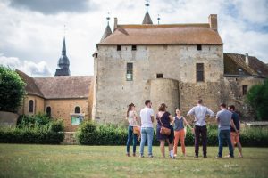
Bouloire nestles at the heart of a vast, undulating agricultural region through which the Dué and Tortue rivers flow. There is evidence of human settlement along the ancient road between Le Mans and Orléans, with coins dating back to the Merovingian period. Its name comes either from a Celtic toponym meaning "fortification", or from an etymology meaning "between two coasts". The town centre boasts a rich heritage of ancient buildings. The church of Saint-Georges, destroyed by fire in 1680, bears the coat of arms of Marshal Guillaume Testu de Balincourt, who was responsible for its reconstruction. The town's coat of arms is linked to this figure.
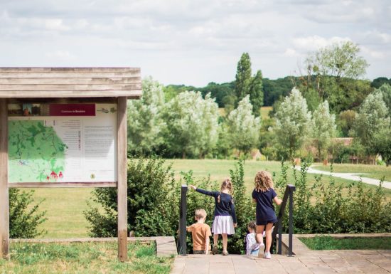
Map and full description of the route available in the Guide Rando du Perche Sarthois (50 routes).
On sale at the Perche Sarthois tourist offices for €10.
Points of interest

